Overview
In the Spring of 2024, I was part of an academic research team enlisted to help the city of Wheat Ridge, CO, analyze its demographics and infrastructure to inform the allocation of a new funding source from its recently passed 2J sales tax initiative.
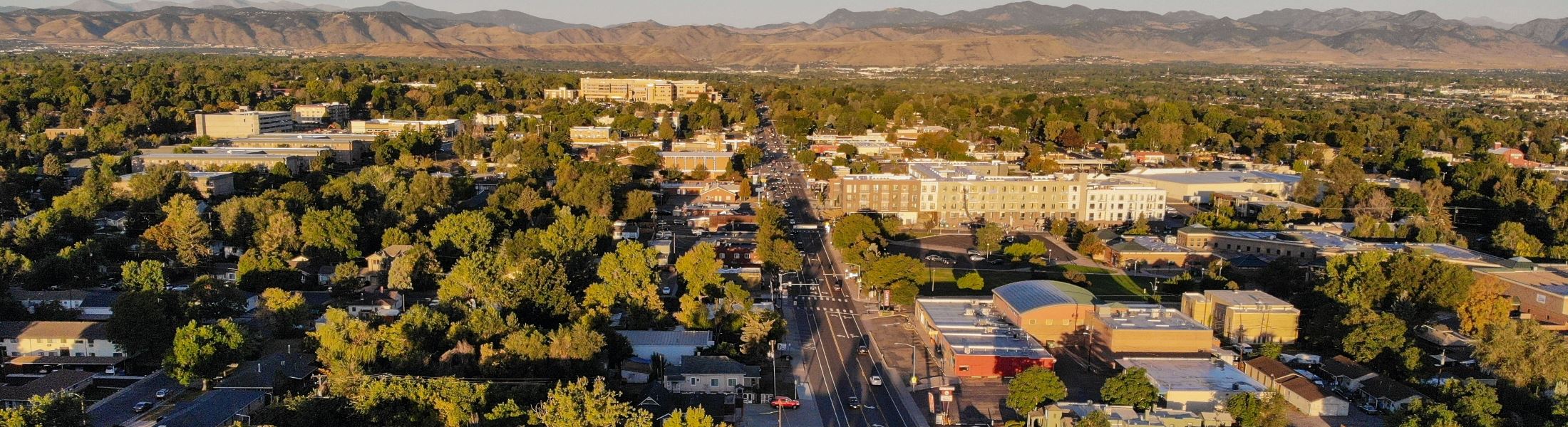
Wheat Ridge, CO, is a suburb of Denver, CO, sharing its Eastern boundary with the larger municipality. This is one of many municipalities in the Denver area that have seen a surge in population in recent years. In the past 70 years, the city has grown by around 30,000 residents, transforming a small farm town into a bustling urban extension of Denver. While this is a significant change, it is still a small town with limited resources. We aimed to help them understand how to best spend them.
My Role
Within our team, my primary responsibility was to analyze the demographic landscape of the city. The 2J initiative, passed by voters, aims to enhance pedestrian, bicycling, and stormwater infrastructure across the city. Understanding the existing conditions of this infrastructure is crucial for effectively prioritizing improvements, particularly in high-traffic corridors of the city.
To this end, we employed GIS mapping techniques to assess key demographic indicators, including population density, household income, homeownership, and vehicle availability, drawing data from the 2020 US Census and the 2020 American Community Survey.
Impact
By identifying areas with high population density, low-income levels, and a greater reliance on non-vehicular travel, we aimed to provide actionable insights to guide infrastructure investments that would promote safer, more accessible, and more equitable urban environments in Wheat Ridge.
Our team's findings were presented to the city council of Wheat Ridge on May 6, 2024.
Team
Vaz Ganushchak, Meghan Thompson, Pat Hall, Erika Jermé, Hannah Larsen, Haorui Guo
Gallery
.png)
.png)
.png)
.png)